Avery Island, as the name suggests, rises above sea level due to the salt dome. It's height is 163'.

en.wikipedia.org
Avery Island is surrounded on all sides by
bayous (slow-moving, muddy rivers),
salt marsh, and
swampland; it sits about 130 miles (210 km) west of
New Orleans.
[6] The island was a sugar plantation formerly known as
Petite Anse Island.
[2] (
Petite Anse means "Little Cove" in
Cajun French.) Access to the island is via a
toll road (technically a very low toll bridge), though a toll is no longer charged for visitors, including tourists.
At its highest point, the island is 163 feet (50 m) above mean sea level.[6] It covers about 2,200 acres (8.9 km2) and is about 2.5 miles (4.0 km) across at its widest point.
Also, there's Lake Peignar which is next to Jefferson Island salt dome. It is the site of the famous salt mine sink hole disaster.
Anyhoos, Jefferson "Island" salt dome is 50 feet above the surrounding land. And now, much higher than the dry lake bed caused by the sink hole.
en.wikipedia.org
View attachment 729857
Lake Peigneur is a small freshwater lake in Louisiana with a shallow depth of 3 metres (10 feet), which makes it a popular spot for recreational fishermen. All that changed drastically on the 20th …

graham64.wordpress.com
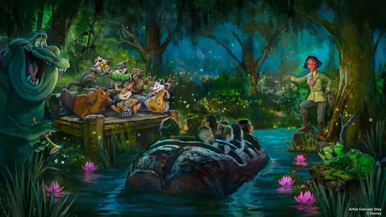
Now, I couldn't find any resources to justify the historicity of turning people in to frogs or talking crocagators who can play horn. I'm sure all those looking for real-world evidence of what they see on a Disney ride are just as concerned about that.