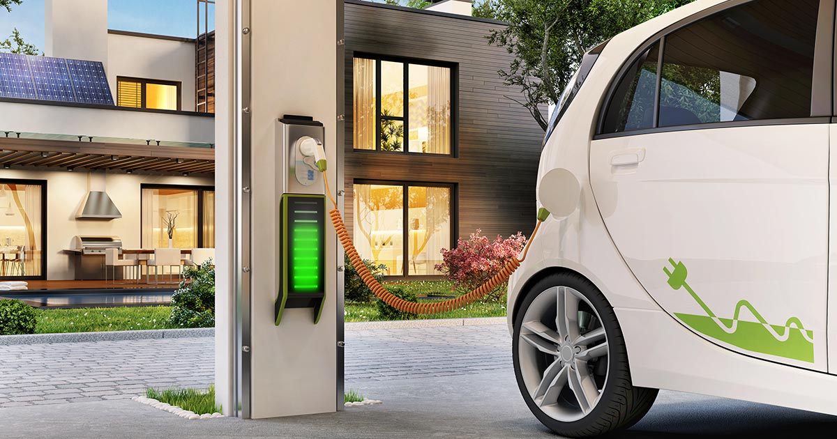
The ones who drive EVs will be challenged since when the power goes out no place to charge your Tesla.
If they are able to afford a fully EV, than they probably have the means to still get somewhere with another vehicle or a generator.
The ones who drive EVs will be challenged since when the power goes out no place to charge your Tesla.
Myers* sorry, pet peeve as a local there.There's very recent precedent for significant track shifts. Ian was supposed to hit the big bend of Florida and within 24 hours, hit near Fort Meyers. Anyone from the Gulf Coast to the Atlantic Coast should be paying attention to this storm and make preparations.
A portable generator is too weak to charge an EV. It is a shame by 2035 all cars will be electric vehicles being sold.If they are able to afford a fully EV, than they probably have the means to still get somewhere with another vehicle or a generator.
A portable generator is too weak to charge an EV. It is a shame by 2035 all cars will be electric vehicles being sold.

The ones who drive EVs will be challenged since when the power goes out no place to charge your Tesla.
That's an assumption on your part. One needs a extra large heavy duty portable and or a whole house generator. The EV uses so much power when one needs to charge in case of a power outage.
How to Charge an Electric Car (Even When the Power Goes Out) - Electric Car Backup Charging
How do you charge an electric car during an outage? For many people, it means engines off. But we'll give you the info you need to keep your electric car moving during a power outage.www.electricgeneratorsdirect.com
Not true and read the first part of the post. Most who can afford a fully EV likely understand the difference and have the means.
So a little thing about science for you. The more data we have, the better the forecasts are. Until there is a recon team, storm data is estimated by satellites. Now I want to address a few things for you.I really wish they would avoid the intensity projections for more than a couple of days out. Maybe replace it with a "we expect it to be at least Cat 1 in intensity" or something like that. Historically, "they" are pretty bad at predicting intensity several days out. The way they do it leads to people thinking they don't have to prepare because it will only be a cat 1 or whatever and then suddenly start panicking when the forecast changes and they are running out of time.
Human Nazture People do prepare, its just they aren't too pigheaded to leave or are unwilling to leave. Please refer back to Hurricane Katrina, outside of those staying at the Superdome, there was a lot of water rescues.The way they do it leads to people thinking they don't have to prepare because it will only be a cat 1 or whatever and then suddenly start panicking when the forecast changes and they are running out of time.
That's an assumption on your part. One needs a extra large heavy duty portable and or a whole house generator. The EV uses so much power when one needs to charge in case of a power outage.
The hurricanes of 2004 no gas stations working for several days that I can think of. The regular panic before the storm is when many go to get gas then pumps run dry for the rest.Their cars should already be charged up. They get in them and evacuate. Most have a range of 250+ miles which should be sufficient to get them out of harm's way.
Do ICE owners keep their cars at home with empty gas tanks and only fill them up when they have to evacuate? What will they do when there isn't power to run the gas pumps? AFAIK, only a specific set of gas stations in FL are required to have backup power.
Hurricanes of 2004 knocked out plenty of stations.The hurricanes of 2004 no gas stations working for several days that I can think of. The regular panic before the storm is when many go to get gas then pumps run dry for the rest.
I believe if I'm not mistaken that the castle can withstand a major hurricane.
The hurricanes of 2004 no gas stations working for several days that I can think of. The regular panic before the storm is when many go to get gas then pumps run dry for the rest.
2004 is why they legislated that stations along major routes would be required to have generators or alternative supply to keep pumps running. The followup inspection program is weak so not all will be available but much better than 2004Hurricanes of 2004 knocked out plenty of stations.
Whether the gas is dry before new deliveries, or whether it is not available because of no pump power is the same result.
There is panic, but that is not what you typically seeing. If you have to drive for weeks after storm ends or go to work for days to weeks after the storm, it makes sense to fill up today.
Apparently, you misread my post. Advising people infrastructure (airports, roads, trains, etc) will be impacted across the northern portion of the state by a potential Cat 3 hurricane is common sense. It shouldn't even have to be said ~ but here we are...
When the storms are further out and they are using the satellites they are not very good at predicting intensity. They are a little better with the track. Usually the center ends up somewhere in the area that the cone predicts when the day arrives, although it is very rarely near the center of the cone so it makes it looks like the track forecasts are terrible when, in reality, the storm usually ends up somewhere in the widest predicted zone.So a little thing about science for you. The more data we have, the better the forecasts are. Until there is a recon team, storm data is estimated by satellites. Now I want to address a few things for you.
Historically, We are not bad at predicting intensity several days out. The more date we can feed the models, the better understanding of the system we get. Not only do we have thousands of mesaturements from the recon aircraft, there are also times were the weather balloons are launched every 6 hours compared to 12. So more data the merrier.
We've not had a Cat 3 storm impact the Big Bend in the 52 years I've lived here.
View attachment 739557
Max Storm Category of 3 and up from 1967 to 2022
Going back to 1842:
View attachment 739558
No one thought a Cat 3 would go up I-4 and head straight for Kissimmee and Orlando and impact both cities in 2004. That was something else. What was helpful is when weather forecasters predicted and were right on track the exact time frame the storm will wreck the areas during the 3 hurricanes that affected Central FL in a matter of months in that dreadful summer of 2004. Panhandle with a Cat 1 is devastating enough.Long time Panhandle resident. We've not had a Cat 3 storm impact the Big Bend in the 52 years I've lived here.
I will finalize my preparations today. Top off the gas tank, get more water & non perishables, etc. And am prepared to evacuate tomorrow AM if the forecasts shift the storm westward towards Apalachicola.
No living through another Hermine or Michael.
FDOT stopped doing contraflow a few years ago. They now just open the should for use as travel lanes.For people visiting in the next few days, keep in mind all infrastructure could be/will be impacted. If evacuations are ordered, contra flow could be in effect, which will close major roads into some metro areas. Airports will definitely be affected/closed, as well as gas stations and grocery stores.
Register on WDWMAGIC. This sidebar will go away, and you'll see fewer ads.
