Hurricane Milton coming to FL

celluloid

Well-Known Member
I never recall that before

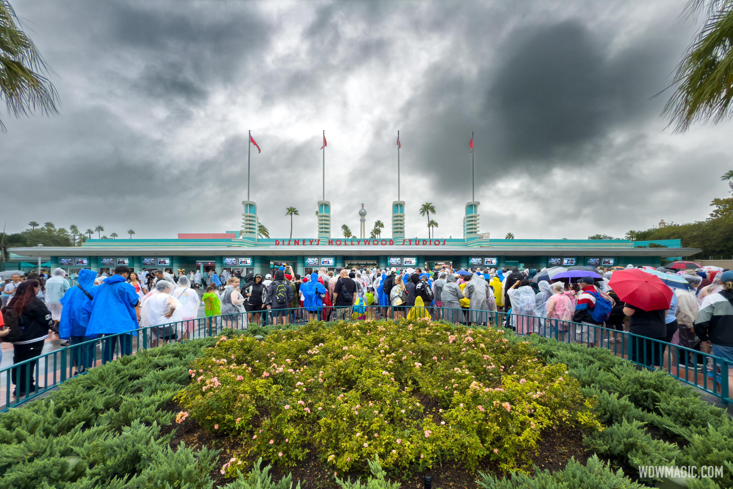
For reference (cause it’s not obvious)…wdw almost NEVER gets strong TS/hurricane force gale winds.

They have gotten heavy winds and damage at times…but they’re always on the ebb due to the 60 miles of land it has to cross.

We shall see. The last storm with lots of damage I recall was Ivan? In 2004. What did Ian do?

These storms are likely to hit much more north if the wobbgle goes that way. It is different than Ian and the uncertainy of Charley that we have in heindsight, which ripped up Tsst Track's entrance scaffolding among other situations.

This one I don't think is going to have the weakning up I4 the same way.

IAN definitely had microbursts of damage as seen at WDW and Universal randomness. More so Universal because of where the storm went.

Ivan was not really that big of a concern for Central FL compared to Charley, that you may be thinking of.
 

larryz

I'm Just A Tourist!
Premium Member
Orlando's now out of the cone good news for the mouse
Just snipped from the NHC interactive cone map...
1728494468070.png
 

celluloid

Well-Known Member
It is said at this point meteorologists that NHC models can't really offer as much as your local meteorology. We are getting close to the wobble zone as we get to the 6 hours and less to landfall.


Just a reminder that Ian made direct landfall on places that were not even in the cone of uncertainty.
 

DCBaker

Premium Member
Updates from Walt Disney World:

On Wednesday, October 9, parking garages at Disney Springs will also close at 2:00 PM, and will remain unavailable during the storm.

On Thursday, October 10, our theme parks and Disney Springs will remain closed, and Mickey’s Not-So-Scary Halloween Party will be cancelled (event tickets will be refunded).

For partially used multi-day tickets, ticket expiration dates will be adjusted to expire on October 11, 2025.

Minnie Van service will be temporarily unavailable beginning at 4:00 PM on Wednesday, October 9.

Limited Mears taxi service will be available to Walt Disney World Resort Guests.


larryz

I'm Just A Tourist!
Premium Member
Updates from Walt Disney World:

Parking garages at Disney Springs will also close at 2:00 PM, and will remain unavailable during the storm.

On Thursday, October 10, our theme parks and Disney Springs will remain closed, and Mickey’s Not-So-Scary Halloween Party will be cancelled (event tickets will be refunded).

For partially used multi-day tickets, ticket expiration dates will be adjusted to expire on October 11, 2025.

Minnie Van service will be temporarily unavailable beginning at 4:00 PM on Wednesday, October 9.

Limited Mears taxi service will be available to Walt Disney World Resort Guests.
No mention of when they're cutting off sales of alcohol/drinks...
 

Sirwalterraleigh

Premium Member
These storms are likely to hit much more north if the wobbgle goes that way. It is different than Ian and the uncertainy of Charley that we have in heindsight, which ripped up Tsst Track's entrance scaffolding among other situations.

This one I don't think is going to have the weakning up I4 the same way.

IAN definitely had microbursts of damage as seen at WDW and Universal randomness. More so Universal because of where the storm went.

Ivan was not really that big of a concern for Central FL compared to Charley, that you may be thinking of.
Probably…I can’t keep the random storm names straight 🤓
 

JohnD

Well-Known Member

celluloid

Well-Known Member
Probably…I can’t keep the random storm names straight 🤓

Charley was the only major situation Orlando had besides Ian two years ago. Both traveled up from SWFL.

The way this is been, if it stays organized and wobbles north of Tampa or at Tampa into Orlando.

There will be mass damage at spots of Central FL.

I expect more flooding than people think either way. With all the rain that has hit before.

Sarasota was my original prediction. The path has currently changed back to that being pretty gnarly. I feel bad for them and Port Charlotte, and of course other ports will be rough.
 

Eric Graham

Well-Known Member
It is said at this point meteorologists that NHC models can't really offer as much as your local meteorology. We are getting close to the wobble zone as we get to the 6 hours and less to landfall.


Just a reminder that Ian made direct landfall on places that were not even in the cone of uncertainty.
funny, i always thought ABC weather people had the Sherwin William logo on their jackets...my wife was always like why would they have that on their jackets? that don't make no sense, it's Fulsus USA logo...oh well... I was like maybe they like painting too!
🙃
 

MerlinTheGoat

Well-Known Member
WESH guy just gave his opinion that it's moving more north than the NHC track thinks.

On the other hand, apparently rapidly weakening. Possibly faster than projected.
 

celluloid

Well-Known Member
WESH guy just gave his opinion that it's moving more north than the NHC track thinks.

On the other hand, apparently rapidly weakening. Possibly faster than projected.

My money is on the North Wobble. I like a off the wall guess. Orlando may see more of what it did with Charley for sure if this is the case. I don't wish it on anyone, but I also don't really want Fort Myers to get an Ian level hit again.

I would not expect an early opening on Sat either. Some phased or delayed one.
 
Last edited:

Register on WDWMAGIC. This sidebar will go away, and you'll see fewer ads.

Back
Top Bottom