ajrwdwgirl
Premium Member

HAHAh "Ho-made" pies! And with the picture of the girl, that is something else. Gave me a laugh though. What wouldn't have given me a laugh is that gas sign....$3.95 for gas! Yikes!
View attachment 586250
HAHAh "Ho-made" pies! And with the picture of the girl, that is something else. Gave me a laugh though. What wouldn't have given me a laugh is that gas sign....$3.95 for gas! Yikes!
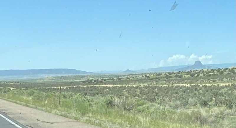
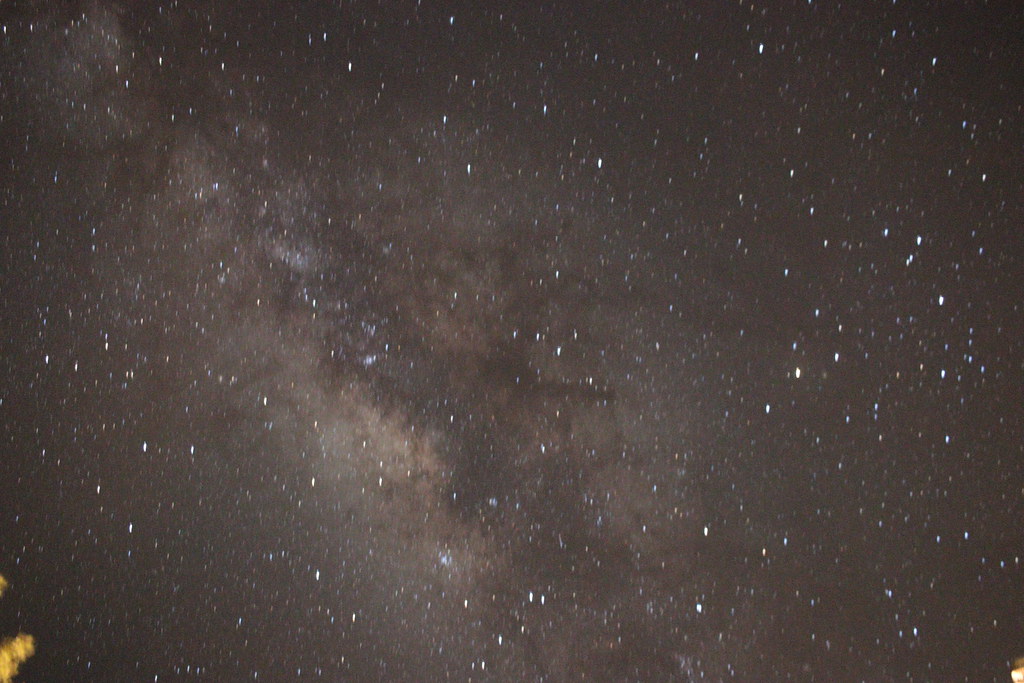
I love horseshoe! We went there on our big spring break trip. We had friends who lived in Page Arizona, so we stayed with them and they took us there. We were amazed, being from Wyoming where it was still snowing, that we didn't even need jackets there in March! I don't remember anyone else being there besides us....really not busy at all!
We had driven through a snow storm to get there. We had made our plans months before and only had a week off to visit friends in Cedar City, Utah, Page Arizona, and Prescott. So we were on the road headed toward Salt Lake City and it was pretty bad. The roads were open, but it was dicey in some bits. So then to get to Page and it was BBQ weather was a novelty. It was so nice!!It was very neat to finally see it in person. That's funny about the snow. I guess I've gotten so used to living someplace without real winter that it doesn't phase me. Still, I remember those days of living up north and how nice it was to travel to warm places in the dead of winter.


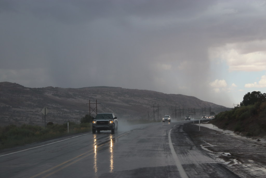


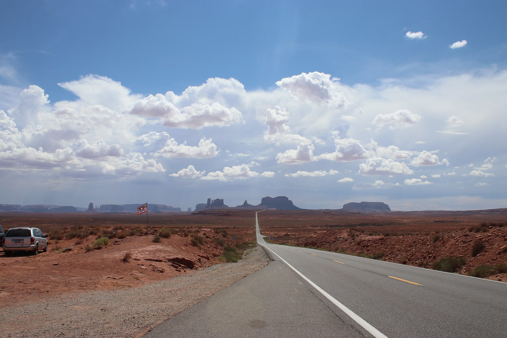


We had driven through a snow storm to get there. We had made our plans months before and only had a week off to visit friends in Cedar City, Utah, Page Arizona, and Prescott. So we were on the road headed toward Salt Lake City and it was pretty bad. The roads were open, but it was dicey in some bits. So then to get to Page and it was BBQ weather was a novelty. It was so nice!!

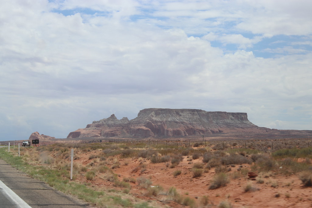
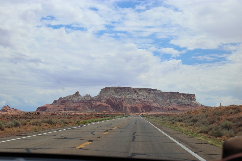
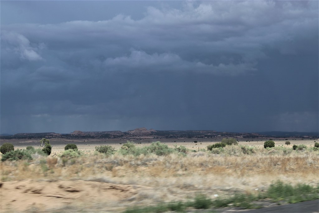
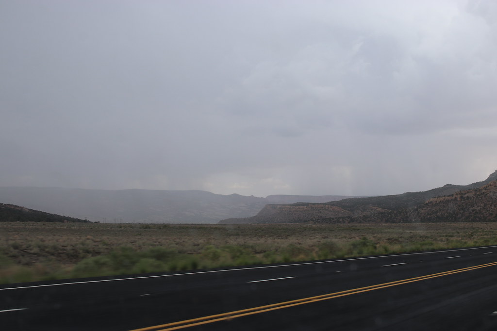
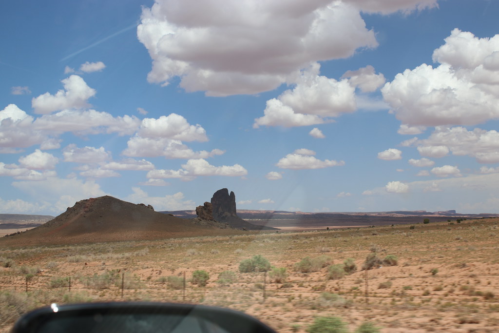
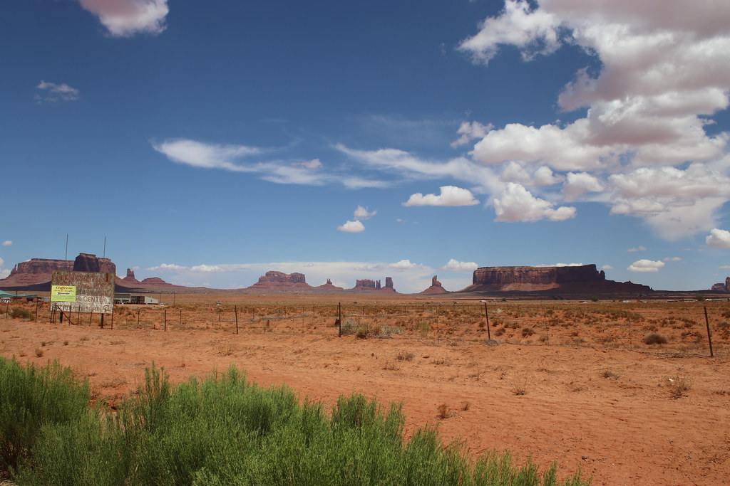
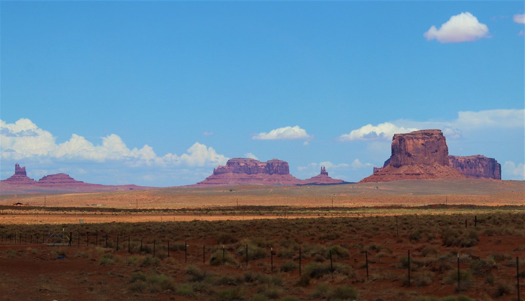
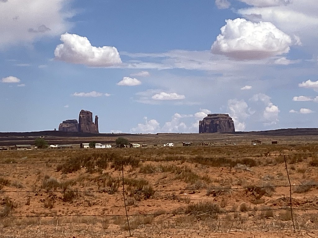
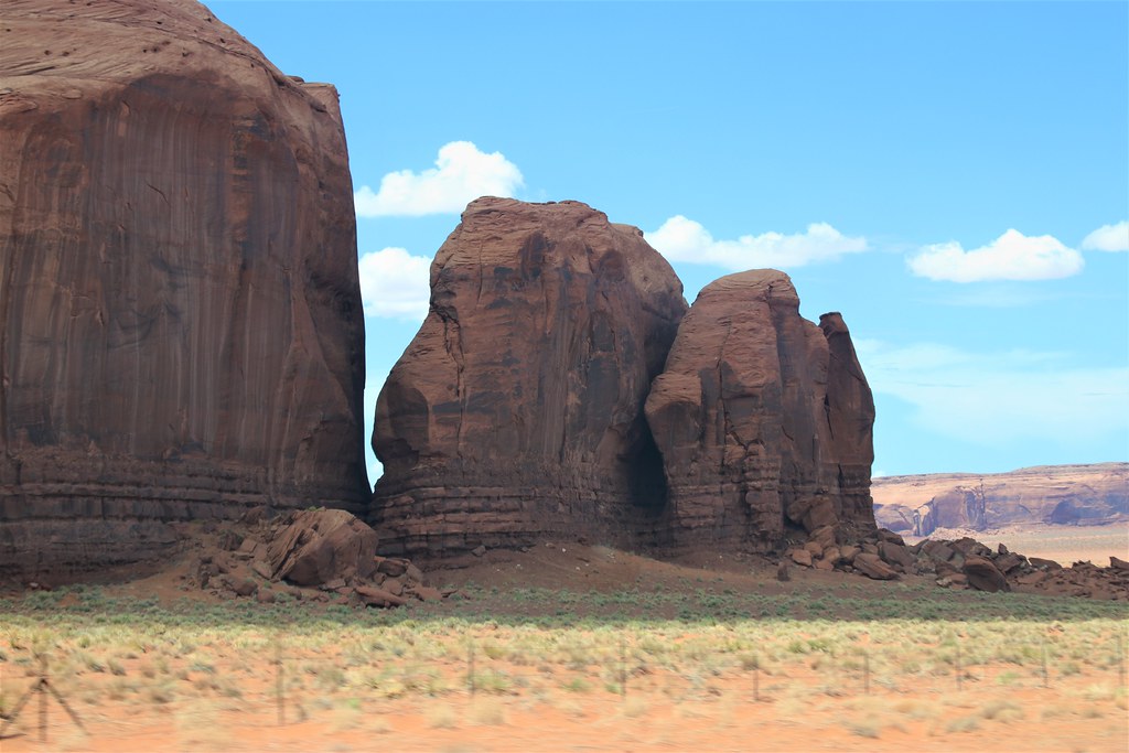
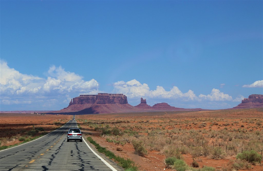
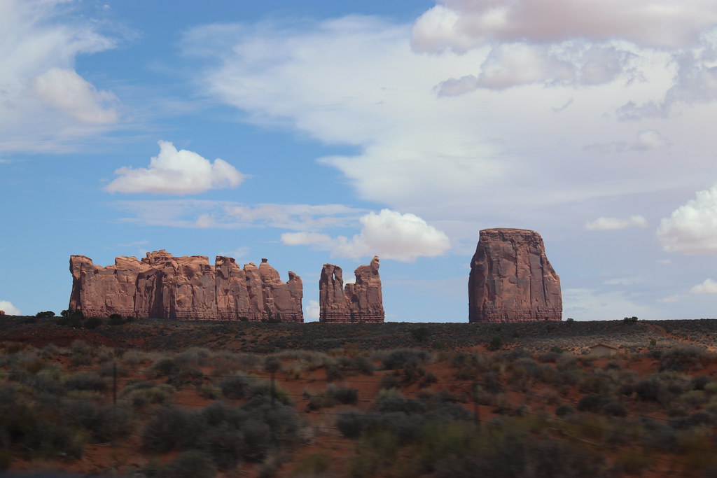
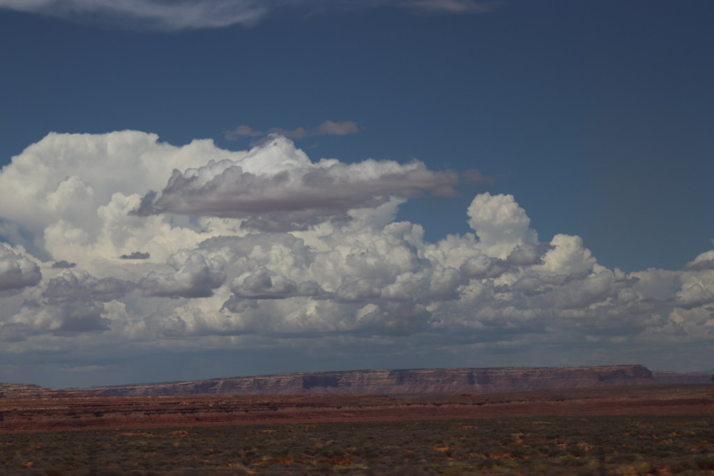
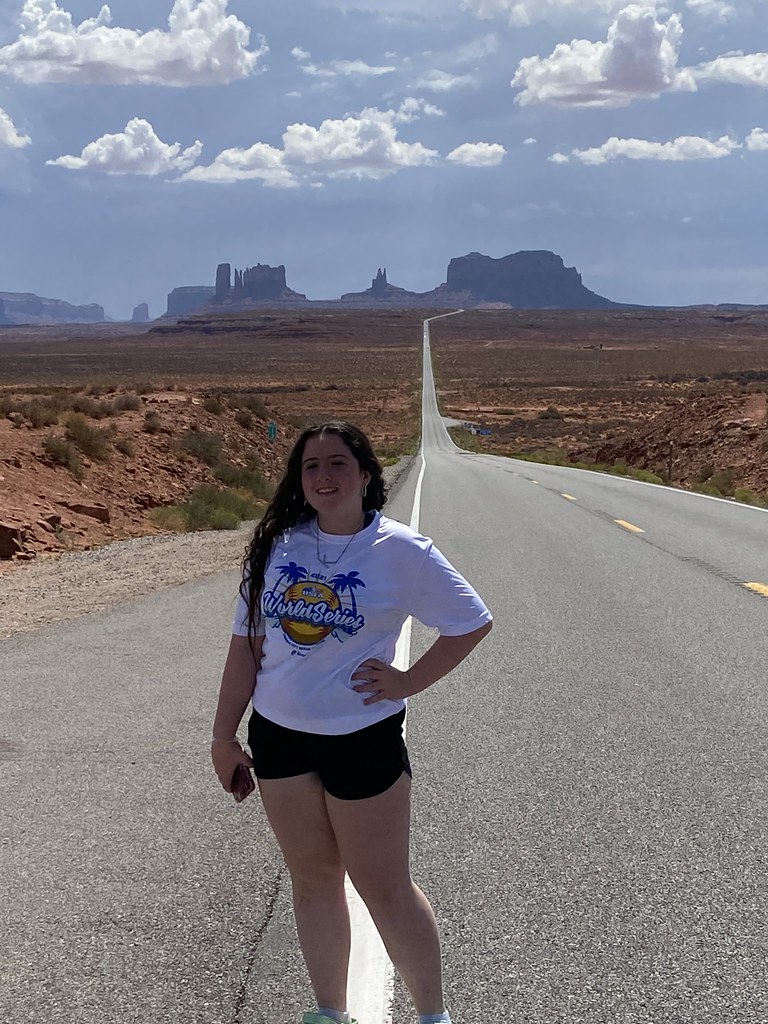
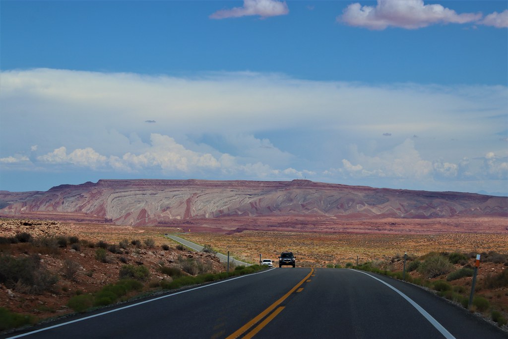
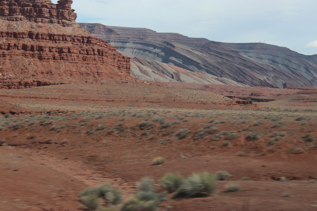
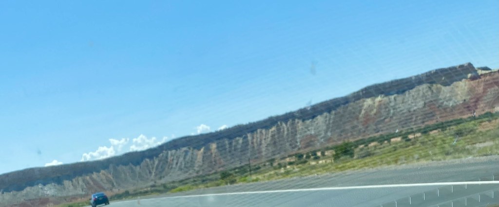
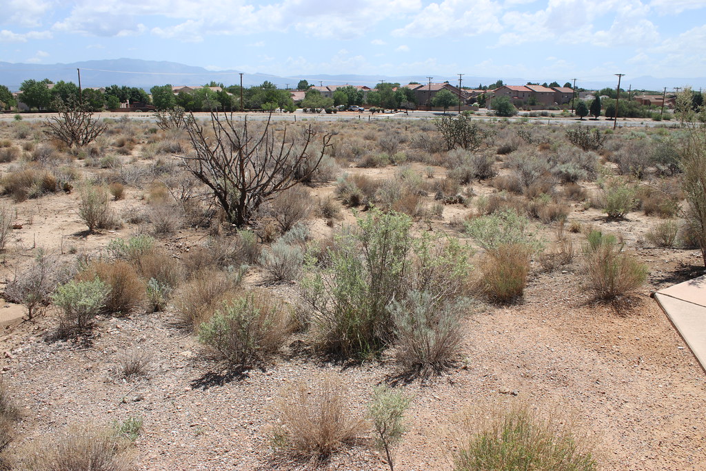
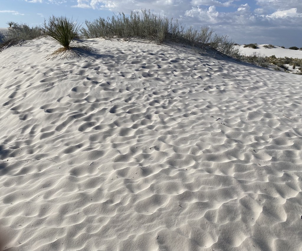
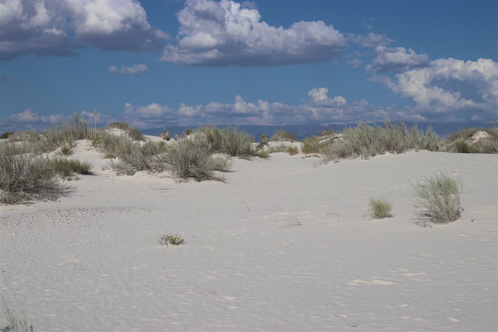
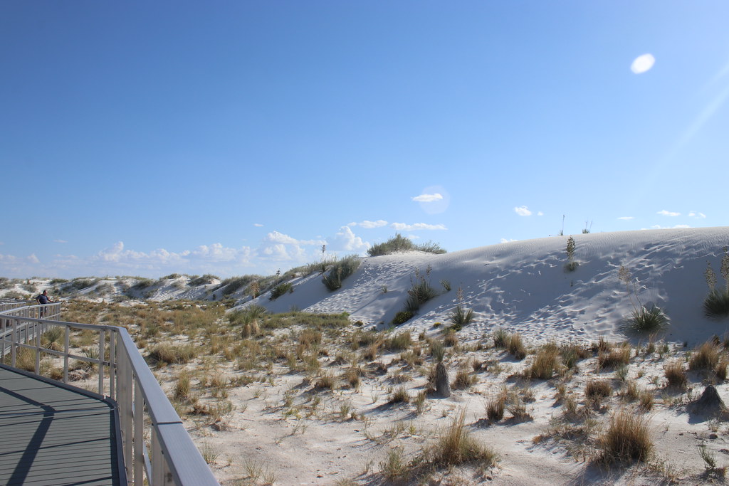
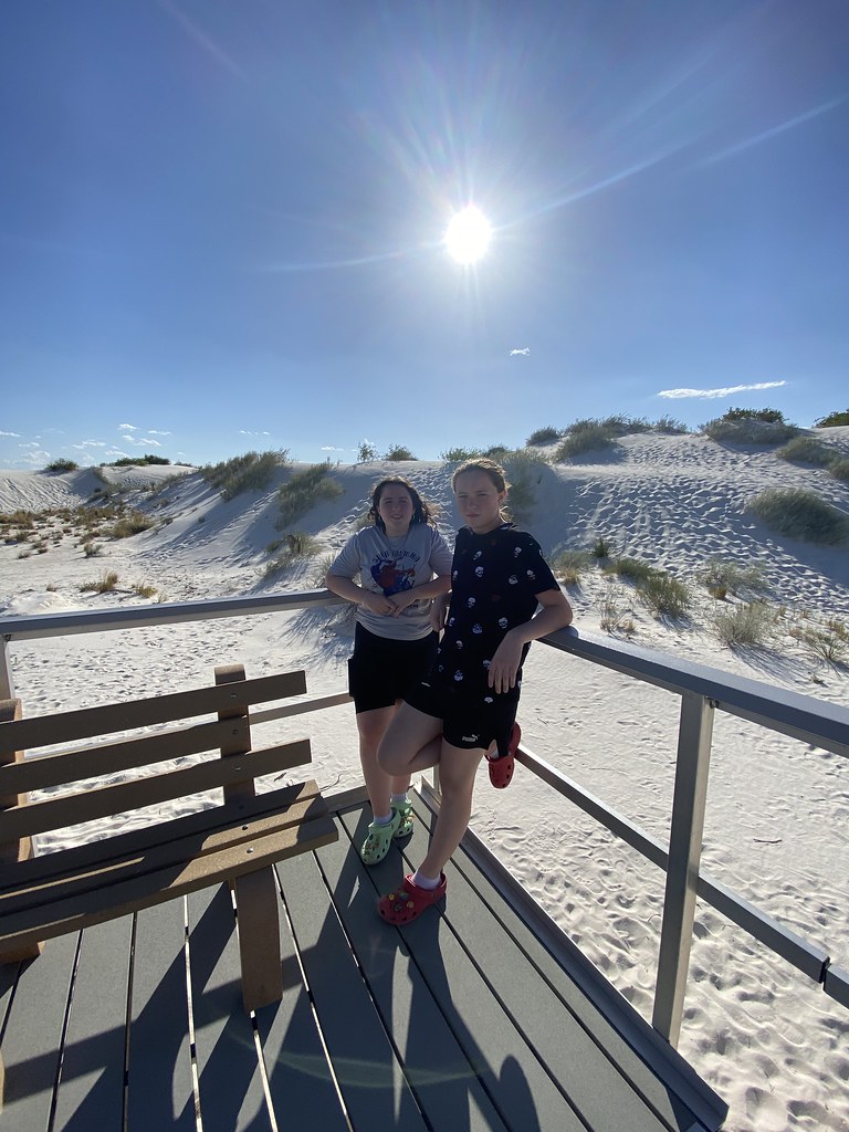
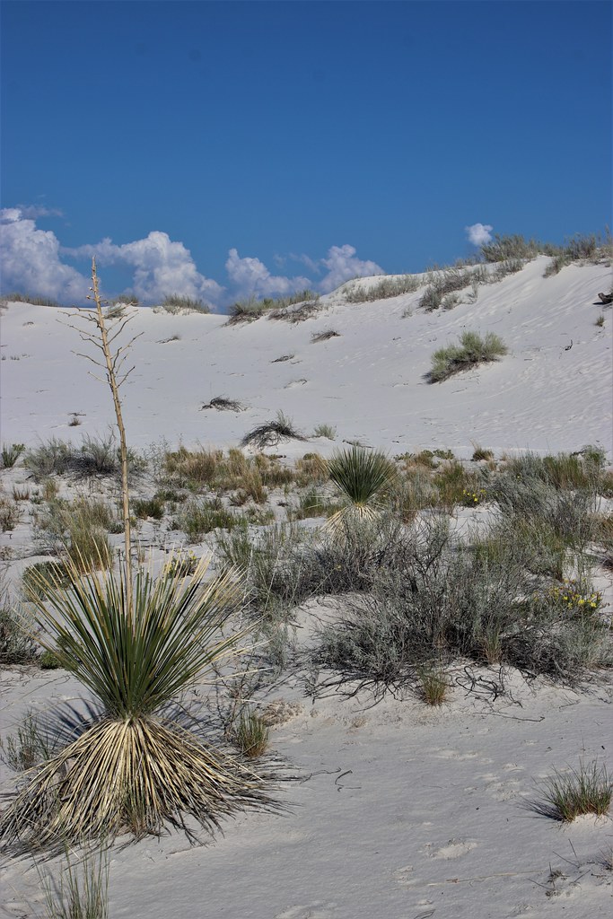
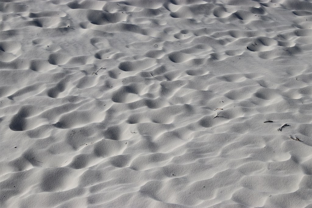
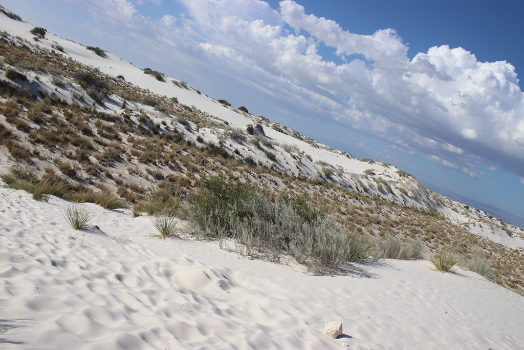
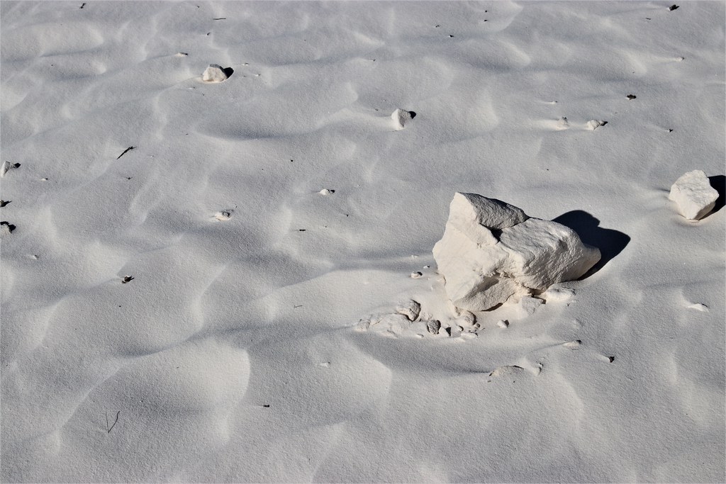
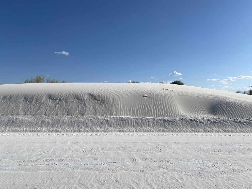
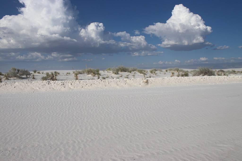
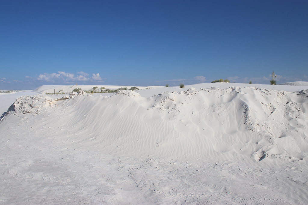
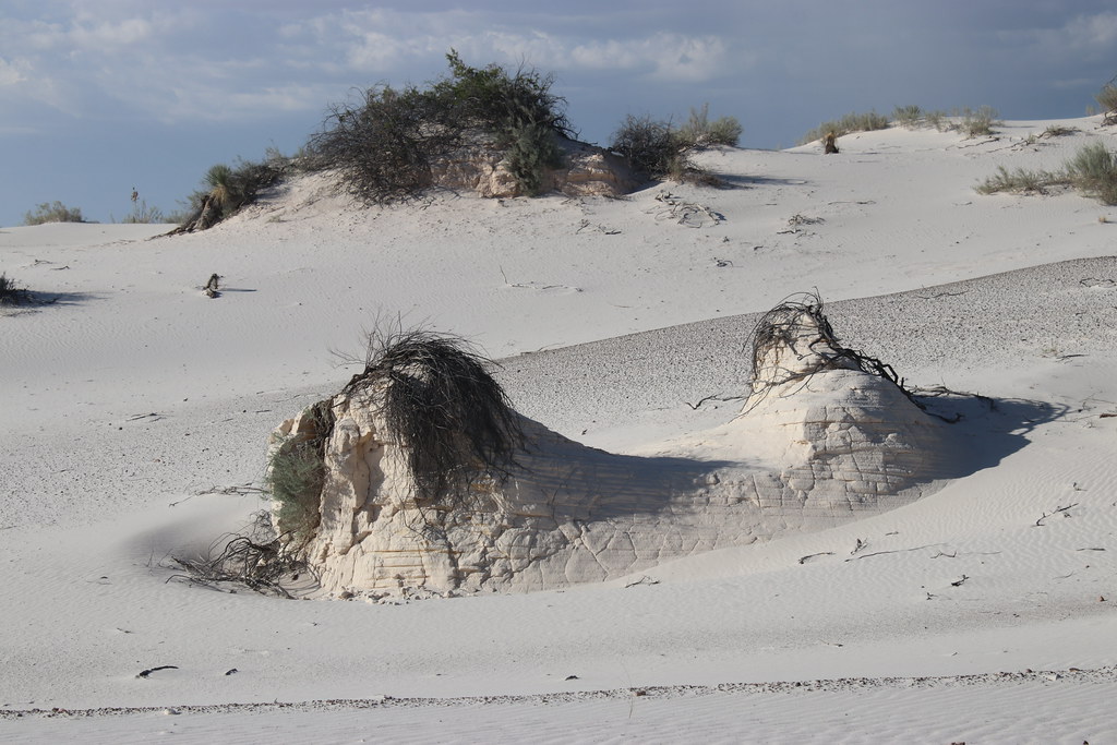
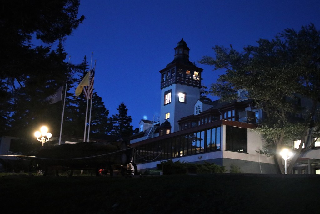
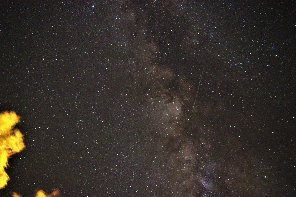
Once again, really enjoying your scenic photos. It's an entirely different "world" out there!!
 When we were at YS we stayed in the park for 9 days, during our stay at Mammoth, right outside our window I saw an elk give birth. Here is the baby getting her first taste of milk.
Enjoying your TR. View attachment 586864When we were at YS we View attachment 586864 stayed in the park for 9 days, during our stay at Mammoth, right outside our window I saw an elk give birth. Here is the baby getting her first taste of milk.


Register on WDWMAGIC. This sidebar will go away, and you'll see fewer ads.