Hurricane Milton update as Florida breaks tornado warning record
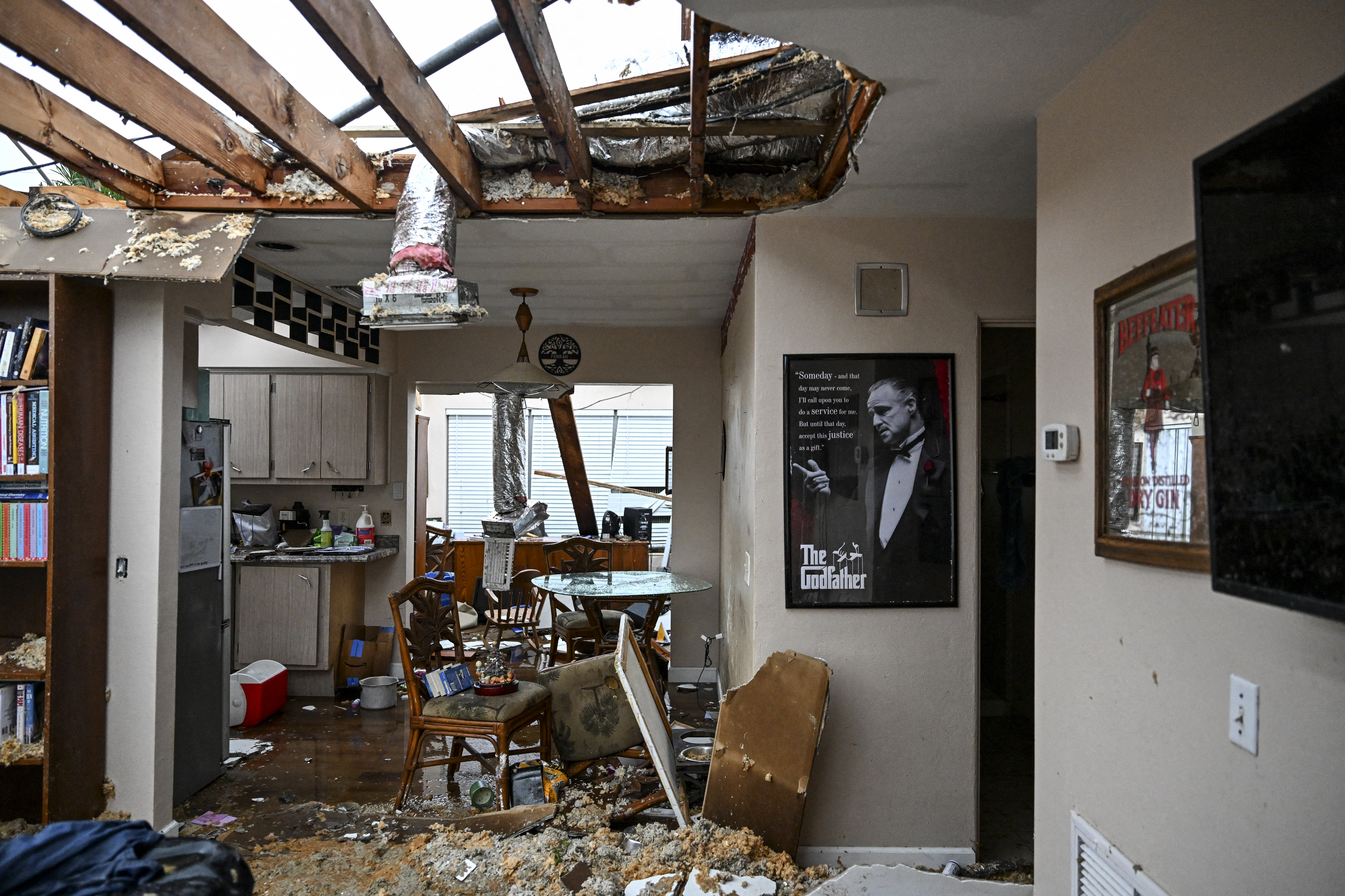
Several tornadoes touched down in central and southern Florida ahead of Milton making landfall.
A record number of tornado warnings have been issued throughout Florida as Hurricane Milton approaches the Sunshine State's Gulf Coast.
The Category 3 storm is expected to make landfall near the Tampa Bay region sometime Wednesday evening. As of 5 p.m. ET Wednesday, the National Hurricane Center tracked Milton roughly 60 miles west-southwest of Sarasota, with sustained wind speeds of up to 120 mph.
The impacts of Milton have been felt throughout the day, however. Heavy thunderstorms and tropical-force winds reached parts of Florida by Wednesday morning. The National Weather Service (NWS) also confirmed that several tornadoes touched down in southern Florida ahead of Milton making landfall, and dozens of tornado warnings were issued across the state.
As of 6 p.m. ET Wednesday, NWS offices for Tampa Bay, Melbourne and Miami had collectively issued 98 tornado warnings, the mostfor any single day in Florida's history.
NWS Miami issued 55 tornado warnings in southern Florida alone. Fox Weather meteorologist Mathieu Blue reported that the office's previous record was set during Hurricane Ian in September 2022, when it issued 37.
Tampa's NWS office also broke its record ahead of Wednesday. According to Blue's report, at least 29 tornado warnings were issued for the Tampa Bay region ahead of Milton, surpassing the 23 set in June 2013 during Tropical Storm Andrea.
"If the driving rain and wind isn't enough to convince you to remain sheltered in place, there is also the very real threat of tornadoes, even in the outer bands of #Milton," NWS posted to X, formerly Twitter, on Wednesday. "These tornadoes spin up quickly and move even more so—making staying in a safe place the best possible option."
